
Korogwe topographic map
Interactive map
Click on the map to display elevation.
About this map
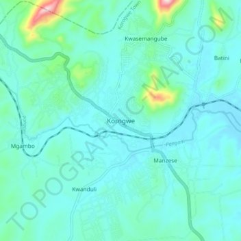
Name: Korogwe topographic map, elevation, terrain.
Location: Korogwe, Tanga, Northern Zone, Tanzania (-5.19921 38.41226 -5.11921 38.49226)
Average elevation: 342 m
Minimum elevation: 285 m
Maximum elevation: 699 m