
Al Qubbah topographic map
Interactive map
Click on the map to display elevation.
About this map
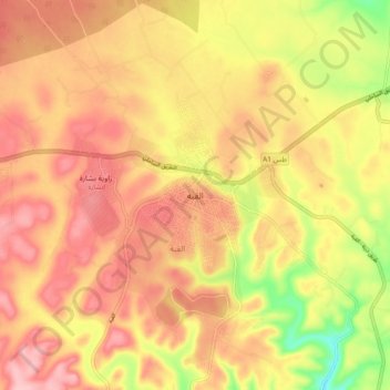
Name: Al Qubbah topographic map, elevation, terrain.
Location: Al Qubbah, Derna, Libya (32.72306 22.20175 32.80306 22.28175)
Average elevation: 585 m
Minimum elevation: 490 m
Maximum elevation: 643 m
Other topographic maps
Click on a map to view its topography, its elevation and its terrain.
Al Athrun الاثرون
Libya > Derna > Al Athrun الاثرون
Al Athrun الاثرون, Derna, Libya
Average elevation: 119 m