
Fuenfría topographic map
Interactive map
Click on the map to display elevation.
About this map
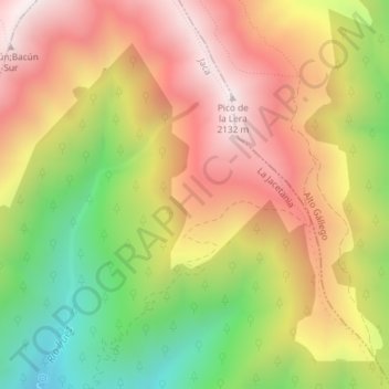
Name: Fuenfría topographic map, elevation, terrain.
Location: Fuenfría, Jaca, La Jacetania, Huesca, Aragon, Spain (42.64988 -0.46742 42.66988 -0.44742)
Average elevation: 1,699 m
Minimum elevation: 1,193 m
Maximum elevation: 2,131 m
Other topographic maps
Click on a map to view its topography, its elevation and its terrain.
Peña Oroel
Peña Oroel, Jaca, La Jacetania, Huesca, Aragon, Spain
Average elevation: 1,312 m