
Fladbury topographic map
Interactive map
Click on the map to display elevation.
About this map
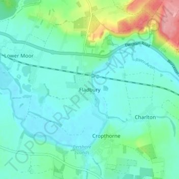
Name: Fladbury topographic map, elevation, terrain.
Location: Fladbury, Worcestershire, England, WR10 2QB, United Kingdom (52.09524 -2.02712 52.13524 -1.98712)
Average elevation: 38 m
Minimum elevation: 15 m
Maximum elevation: 126 m