
Blaker topographic map
Interactive map
Click on the map to display elevation.
About this map
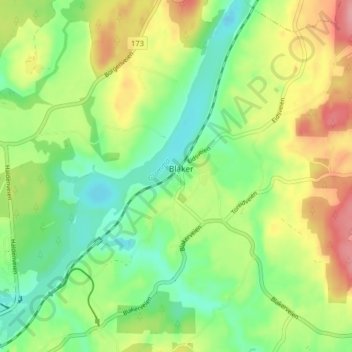
Name: Blaker topographic map, elevation, terrain.
Location: Blaker, Sørum, Akershus, 1927, Norway (59.98393 11.28048 60.02393 11.32048)
Average elevation: 141 m
Minimum elevation: 98 m
Maximum elevation: 204 m