
Emsworth topographic map
Interactive map
Click on the map to display elevation.
About this map
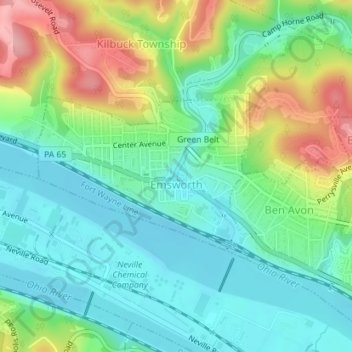
Name: Emsworth topographic map, elevation, terrain.
Location: Emsworth, Allegheny County, Pennsylvania, USA (40.50432 -80.10862 40.51706 -80.08708)
Average elevation: 260 m
Minimum elevation: 211 m
Maximum elevation: 364 m