
Sungai Benut topographic map
Interactive map
Click on the map to display elevation.
About this map
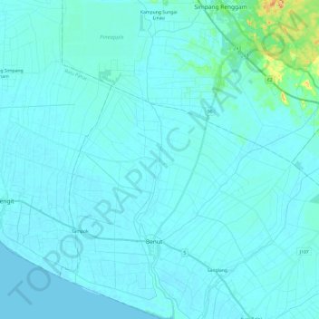
Name: Sungai Benut topographic map, elevation, terrain.
Location: Sungai Benut, Benut, Pontian, Johor, 86200, Malaysia (1.59065 103.24471 1.83153 103.29766)
Average elevation: 7 m
Minimum elevation: 0 m
Maximum elevation: 100 m