
Antas topographic map
Interactive map
Click on the map to display elevation.
About this map
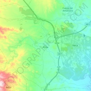
Name: Antas topographic map, elevation, terrain.
Location: Antas, Almeria, Andalusia, 04628, Spain (37.19011 -2.04102 37.30453 -1.88719)
Average elevation: 162 m
Minimum elevation: 9 m
Maximum elevation: 649 m