
Navrongo topographic map
Interactive map
Click on the map to display elevation.
About this map
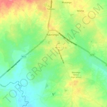
Name: Navrongo topographic map, elevation, terrain.
Location: Navrongo, Upper East Region, Ghana (10.83117 -1.10974 10.92228 -1.05577)
Average elevation: 186 m
Minimum elevation: 159 m
Maximum elevation: 226 m