
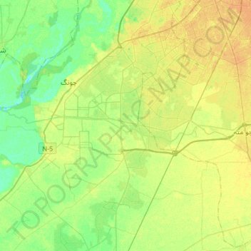
Hudiara Drain topographic map
Interactive map
Click on the map to display elevation.
About this map
Name: Hudiara Drain topographic map, elevation, terrain.
Average elevation: 207 m
Minimum elevation: 196 m
Maximum elevation: 218 m
Other topographic maps
Click on a map to view its topography, its elevation and its terrain.
Hazuri Bagh
Hazuri Bagh, Shahi Mohallah, Bilal Ganj, Lahore, Lahore City Tehsil, Lahore District, Punjab, Pakistan
Average elevation: 217 m
TECH Socity
TECH Socity, Lahore, Lahore District, Punjab, 54590, Pakistan
Average elevation: 213 m