
Jaramana topographic map
Interactive map
Click on the map to display elevation.
About this map
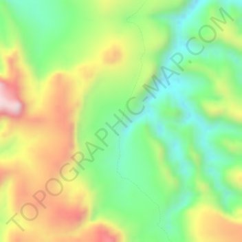
Name: Jaramana topographic map, elevation, terrain.
Location: Jaramana, Ihorombe, Province de Fianarantsoa, Madagascar (-22.50494 45.27575 -22.48494 45.29575)
Average elevation: 946 m
Minimum elevation: 762 m
Maximum elevation: 1,168 m