
Chora topographic map
Interactive map
Click on the map to display elevation.
About this map
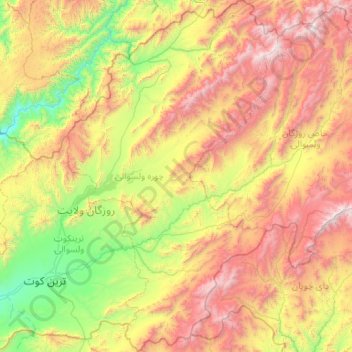
Name: Chora topographic map, elevation, terrain.
Location: Chora, Urōzgān, Afghanistan (32.44044 65.93513 33.32817 66.56881)
Average elevation: 2,239 m
Minimum elevation: 1,158 m
Maximum elevation: 4,068 m