
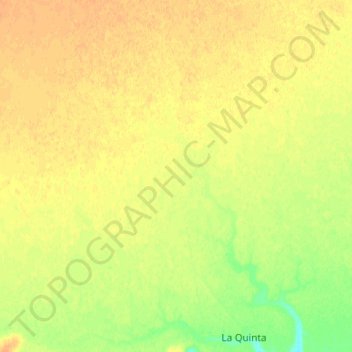
La Quinta topographic map
Interactive map
Click on the map to display elevation.
About this map
Name: La Quinta topographic map, elevation, terrain.
Location: La Quinta, Deseado, SC, Argentina (-47.47072 -67.43262 -47.38002 -67.30088)
Average elevation: 177 m
Minimum elevation: 159 m
Maximum elevation: 187 m
Other topographic maps
Click on a map to view its topography, its elevation and its terrain.
Casco Viejo
Casco Viejo, El Calafate, Lago Argentino, SC, Argentina
Average elevation: 205 m
San Martín
Argentina > SC > Río Gallegos
San Martín, Río Gallegos, Güer Aike, SC, Argentina
Average elevation: 14 m