
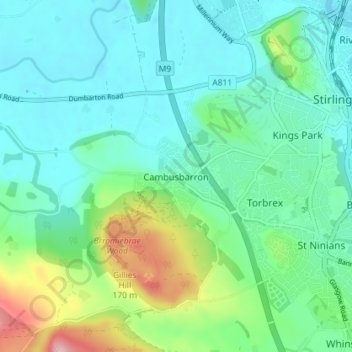
Cambusbarron topographic map
Interactive map
Click on the map to display elevation.
About this map
Name: Cambusbarron topographic map, elevation, terrain.
Location: Cambusbarron, Stirling, Scotland, FK7 9NW, United Kingdom (56.08929 -3.98796 56.12929 -3.94796)
Average elevation: 47 m
Minimum elevation: 2 m
Maximum elevation: 194 m