
Kappala Cheruvu topographic map
Interactive map
Click on the map to display elevation.
About this map
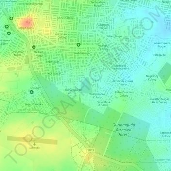
Name: Kappala Cheruvu topographic map, elevation, terrain.
Average elevation: 537 m
Minimum elevation: 519 m
Maximum elevation: 562 m
Other topographic maps
Click on a map to view its topography, its elevation and its terrain.
Greater Hyderabad Municipal Corporation Central Zone
Average elevation: 533 m
Greater Hyderabad Municipal Corporation South Zone
Average elevation: 535 m