
Pangollamada topographic map
Interactive map
Click on the map to display elevation.
About this map
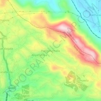
Name: Pangollamada topographic map, elevation, terrain.
Location: Pangollamada, Kandy District, Central Province, 21300, Sri Lanka (7.36954 80.61521 7.40954 80.65521)
Average elevation: 547 m
Minimum elevation: 357 m
Maximum elevation: 797 m