
Montgonery Camp topographic map
Interactive map
Click on the map to display elevation.
About this map
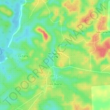
Name: Montgonery Camp topographic map, elevation, terrain.
Location: Montgonery Camp, Senjeh, Bomi County, Liberia (6.72980 -10.96543 6.76980 -10.92543)
Average elevation: 38 m
Minimum elevation: 11 m
Maximum elevation: 73 m