
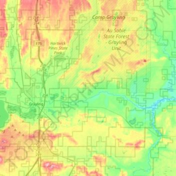
Grayling Charter Township topographic map
Interactive map
Click on the map to display elevation.
About this map
Name: Grayling Charter Township topographic map, elevation, terrain.
Average elevation: 368 m
Minimum elevation: 313 m
Maximum elevation: 453 m
Other topographic maps
Click on a map to view its topography, its elevation and its terrain.
Westacres
United States of America > Michigan > West Bloomfield Township > Westacres
Average elevation: 289 m
Martinsville
United States of America > Michigan > Sumpter Township > Martinsville
Average elevation: 201 m