
Charleston topographic map
Interactive map
Click on the map to display elevation.
About this map
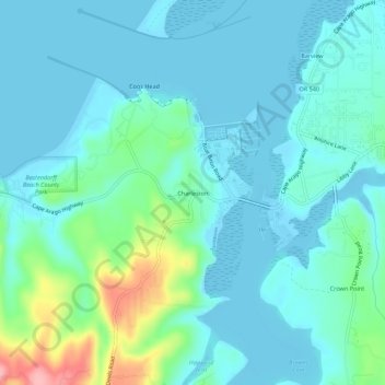
Name: Charleston topographic map, elevation, terrain.
Location: Charleston, Coos County, Oregon, United States of America (43.32001 -124.35024 43.36001 -124.31024)
Average elevation: 24 m
Minimum elevation: -5 m
Maximum elevation: 132 m