
Tulate topographic map
Interactive map
Click on the map to display elevation.
About this map
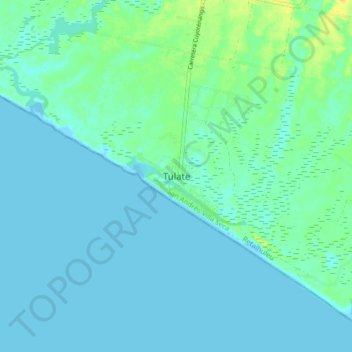
Name: Tulate topographic map, elevation, terrain.
Location: Tulate, San Andrés Villa Seca, Retalhuleu, Guatemala (14.11789 -91.75296 14.19789 -91.67296)
Average elevation: 5 m
Minimum elevation: -1 m
Maximum elevation: 24 m