
Pinahat topographic map
Interactive map
Click on the map to display elevation.
About this map
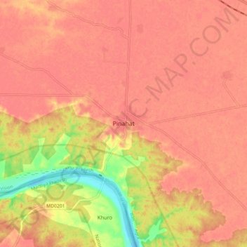
Name: Pinahat topographic map, elevation, terrain.
Location: Pinahat, Bah, Agra, Uttar Pradesh, 283123, India (26.84511 78.33468 26.92511 78.41468)
Average elevation: 152 m
Minimum elevation: 107 m
Maximum elevation: 166 m