
Mukdahan Province topographic map
Interactive map
Click on the map to display elevation.
About this map
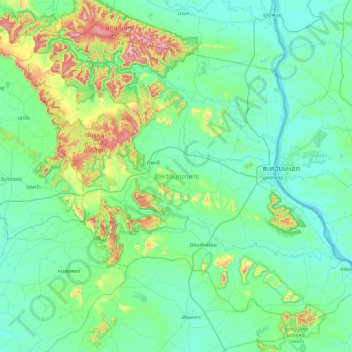
Name: Mukdahan Province topographic map, elevation, terrain.
Location: Mukdahan Province, Thailand (16.18972 104.07222 16.89888 104.97767)
Average elevation: 207 m
Minimum elevation: 128 m
Maximum elevation: 619 m
Other topographic maps
Click on a map to view its topography, its elevation and its terrain.
Ban Chom Mani
Ban Chom Mani, Dong Mon, Mukdahan Province, Thailand
Average elevation: 177 m