
Naranjito topographic map
Interactive map
Click on the map to display elevation.
About this map
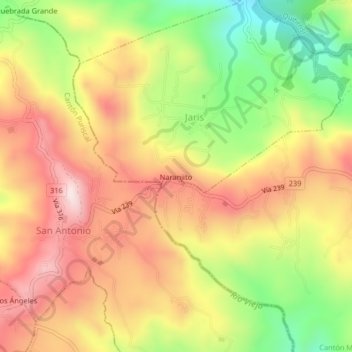
Name: Naranjito topographic map, elevation, terrain.
Location: Naranjito, Cantón Mora, Provincia San José, 10706, Costa Rica (9.84459 -84.30559 9.88459 -84.26559)
Average elevation: 901 m
Minimum elevation: 626 m
Maximum elevation: 1,133 m