
Kayu Arang topographic map
Interactive map
Click on the map to display elevation.
About this map
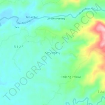
Name: Kayu Arang topographic map, elevation, terrain.
Location: Kayu Arang, Kampung Melayu, Bengkulu, Indonesia (-3.95523 102.42416 -3.91523 102.46416)
Average elevation: 62 m
Minimum elevation: 11 m
Maximum elevation: 215 m