
Malay Island topographic map
Interactive map
Click on the map to display elevation.
About this map
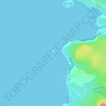
Name: Malay Island topographic map, elevation, terrain.
Location: Malay Island, Grande Case Noyale, Mauritius (-20.39855 57.36492 -20.39653 57.36590)
Average elevation: 7 m
Minimum elevation: -1 m
Maximum elevation: 78 m