
Edenderry topographic map
Interactive map
Click on the map to display elevation.
About this map
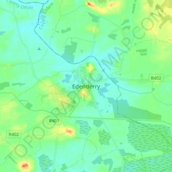
Name: Edenderry topographic map, elevation, terrain.
Location: Edenderry, County Offaly, Leinster, R45 X951, Ireland (53.30337 -7.08886 53.38337 -7.00886)
Average elevation: 77 m
Minimum elevation: 64 m
Maximum elevation: 116 m