
Nakolo topographic map
Interactive map
Click on the map to display elevation.
About this map
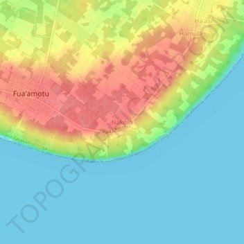
Name: Nakolo topographic map, elevation, terrain.
Location: Nakolo, Vahe Tatakamotonga, Tongatapu, Tonga (-21.28666 -175.14471 -21.24666 -175.10471)
Average elevation: 27 m
Minimum elevation: 0 m
Maximum elevation: 70 m