
Huaytará topographic map
Interactive map
Click on the map to display elevation.
About this map
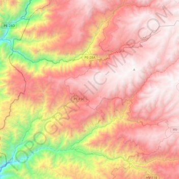
Name: Huaytará topographic map, elevation, terrain.
Location: Huaytará, Province of Huaytará, Huancavelica, Peru (-13.81790 -75.55458 -13.51546 -75.18543)
Average elevation: 3,188 m
Minimum elevation: 1,193 m
Maximum elevation: 4,512 m