
Sawyer topographic map
Interactive map
Click on the map to display elevation.
About this map
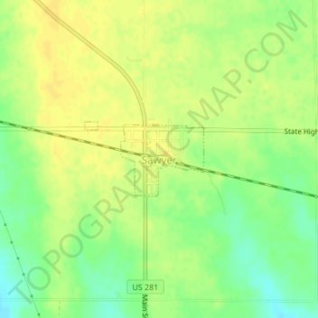
Name: Sawyer topographic map, elevation, terrain.
Location: Sawyer, Pratt County, Kansas, United States of America (37.49416 -98.69028 37.50046 -98.67754)
Average elevation: 582 m
Minimum elevation: 567 m
Maximum elevation: 591 m