
Bayfield topographic map
Interactive map
Click on the map to display elevation.
About this map
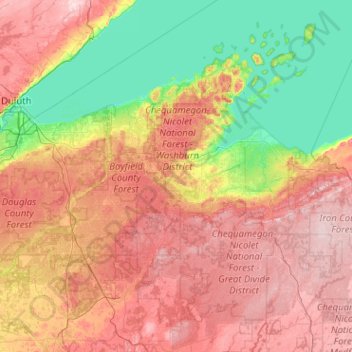
Name: Bayfield topographic map, elevation, terrain.
Location: Bayfield, Wisconsin, United States of America (45.77102 -91.89832 47.17102 -90.49832)
Average elevation: 324 m
Minimum elevation: 174 m
Maximum elevation: 566 m
Other topographic maps
Click on a map to view its topography, its elevation and its terrain.