
Hopeville topographic map
Interactive map
Click on the map to display elevation.
About this map
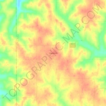
Name: Hopeville topographic map, elevation, terrain.
Location: Hopeville, Clarke County, Iowa, United States of America (40.92277 -94.01662 40.96277 -93.97662)
Average elevation: 354 m
Minimum elevation: 321 m
Maximum elevation: 370 m