
Gemarkung Hausen im Killertal topographic map
Interactive map
Click on the map to display elevation.
About this map
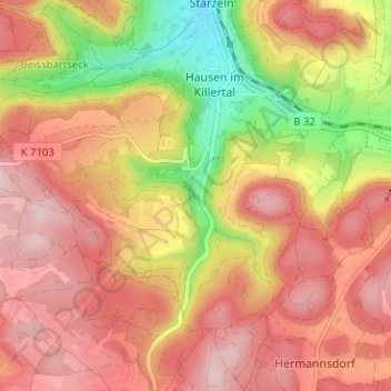
Name: Gemarkung Hausen im Killertal topographic map, elevation, terrain.
Average elevation: 823 m
Minimum elevation: 646 m
Maximum elevation: 938 m