
Shir Qal'e (Lion Fort) topographic map
Interactive map
Click on the map to display elevation.
About this map
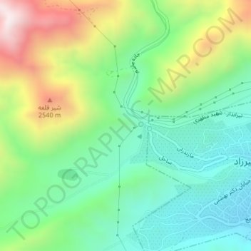
Name: Shir Qal'e (Lion Fort) topographic map, elevation, terrain.
Average elevation: 2,231 m
Minimum elevation: 1,969 m
Maximum elevation: 2,736 m