
Grand Coulee topographic map
Interactive map
Click on the map to display elevation.
About this map
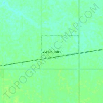
Name: Grand Coulee topographic map, elevation, terrain.
Location: Grand Coulee, Census Division No. 6, Saskatchewan, Canada (50.41271 -104.83796 50.45271 -104.79796)
Average elevation: 569 m
Minimum elevation: 564 m
Maximum elevation: 574 m