
Kandholi topographic map
Interactive map
Click on the map to display elevation.
About this map
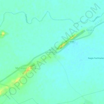
Name: Kandholi topographic map, elevation, terrain.
Location: Kandholi, Rupbas Tehsil, Bharatpur, Rajasthan, 321403, India (26.98534 77.49676 27.02534 77.53676)
Average elevation: 182 m
Minimum elevation: 176 m
Maximum elevation: 199 m