
Johnson topographic map
Interactive map
Click on the map to display elevation.
About this map
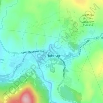
Name: Johnson topographic map, elevation, terrain.
Location: Johnson, Lamoille County, Vermont, United States of America (44.62806 -72.69170 44.64461 -72.66407)
Average elevation: 202 m
Minimum elevation: 141 m
Maximum elevation: 356 m