
Rambara topographic map
Interactive map
Click on the map to display elevation.
About this map
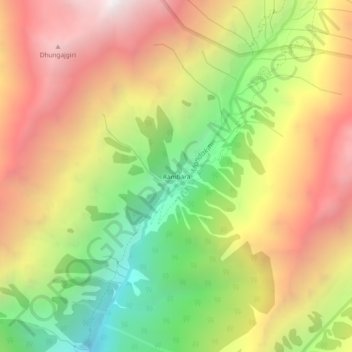
Name: Rambara topographic map, elevation, terrain.
Location: Rambara, Kedarnath, Ukhimath, Rudraprayag, Uttarakhand, India (30.67530 79.03468 30.71530 79.07468)
Average elevation: 3,422 m
Minimum elevation: 2,341 m
Maximum elevation: 4,463 m