
Akyem Awisa topographic map
Click on the map to display elevation.
Gear up for your next adventure:
As an Amazon Associate, this site earns from qualifying purchases at no extra cost to you.
About this map
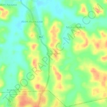
Name: Akyem Awisa topographic map, elevation, terrain.
Location: Akyem Awisa, Eastern Region, Ghana (5.84188 -1.01104 5.88188 -0.97104)
Average elevation: 138 m
Minimum elevation: 116 m
Maximum elevation: 166 m