
Uthal topographic map
Interactive map
Click on the map to display elevation.
About this map
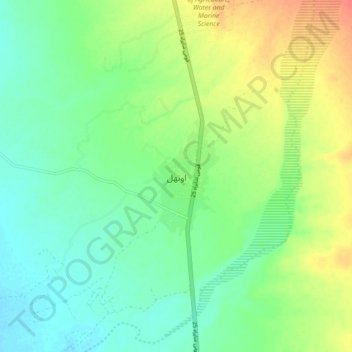
Name: Uthal topographic map, elevation, terrain.
Location: Uthal, Lasbela District, Balochistan, 90150, Pakistan (25.76719 66.58191 25.84719 66.66191)
Average elevation: 42 m
Minimum elevation: 24 m
Maximum elevation: 71 m