
Valkenswaard topographic map
Interactive map
Click on the map to display elevation.
Valkenswaard
Dutch topographic map of the municipality of Valkenswaard, June 2015
About this map
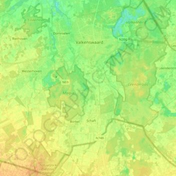
Name: Valkenswaard topographic map, elevation, terrain.
Location: Valkenswaard, North Brabant, Netherlands (51.26228 5.38780 51.37834 5.52718)
Average elevation: 29 m
Minimum elevation: 14 m
Maximum elevation: 41 m
Other topographic maps
Click on a map to view its topography, its elevation and its terrain.