
Spaulding topographic map
Interactive map
Click on the map to display elevation.
About this map
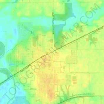
Name: Spaulding topographic map, elevation, terrain.
Location: Spaulding, Sangamon County, Illinois, United States (39.85809 -89.56385 39.87471 -89.52226)
Average elevation: 171 m
Minimum elevation: 156 m
Maximum elevation: 183 m
Other topographic maps
Click on a map to view its topography, its elevation and its terrain.