
Urawa Ward topographic map
Interactive map
Click on the map to display elevation.
About this map
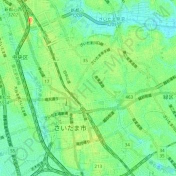
Name: Urawa Ward topographic map, elevation, terrain.
Location: Urawa Ward, Japan (35.84637 139.63270 35.90162 139.66876)
Average elevation: 14 m
Minimum elevation: 2 m
Maximum elevation: 31 m