Geolocate

Cecilia topographic map

Interactive map

Click on the map to display elevation.

About this map

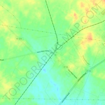
Name: Cecilia topographic map, elevation, terrain.

Location: Cecilia, Hardin County, Kentucky, 42724, United States (37.64590 -85.97663 37.68590 -85.93663)

Average elevation: 221 m

Minimum elevation: 204 m

Maximum elevation: 240 m

Other topographic maps

Click on a map to view its topography, its elevation and its terrain.

Elizabethtown

United States > Kentucky > Hardin County

Average elevation: 241 m

Radcliff

United States > Kentucky > Hardin County

Average elevation: 223 m

Radcliff

United States > Kentucky > Hardin County

Average elevation: 223 m

West Point

United States > Kentucky > Hardin County

Average elevation: 163 m

Elizabethtown

United States > Kentucky > Hardin County

Average elevation: 241 m

Vine Grove

United States > Kentucky > Hardin County

Average elevation: 218 m

Radcliff

United States > Kentucky > Hardin County

Average elevation: 223 m