
Strømmen topographic map
Interactive map
Click on the map to display elevation.
About this map
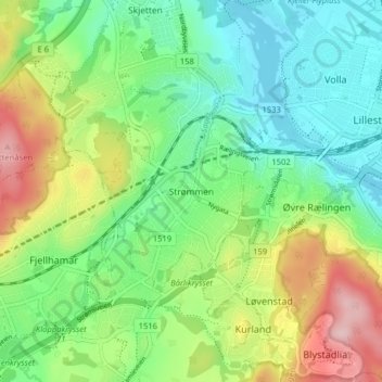
Name: Strømmen topographic map, elevation, terrain.
Location: Strømmen, Lillestrøm, Viken, 1467, Norway (59.92501 10.98673 59.96501 11.02673)
Average elevation: 177 m
Minimum elevation: 98 m
Maximum elevation: 338 m