
Holly topographic map
Interactive map
Click on the map to display elevation.
About this map
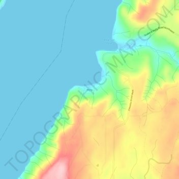
Name: Holly topographic map, elevation, terrain.
Location: Holly, Kitsap County, Washington, United States of America (47.53759 -122.99849 47.57759 -122.95849)
Average elevation: 59 m
Minimum elevation: -1 m
Maximum elevation: 197 m