
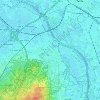
Hattem topographic map
Interactive map
Click on the map to display elevation.
About this map
Name: Hattem topographic map, elevation, terrain.
Location: Hattem, Gelderland, Netherlands, The Netherlands (52.44377 6.00079 52.50961 6.10355)
Average elevation: 7 m
Minimum elevation: -5 m
Maximum elevation: 53 m