
Talegaon topographic map
Interactive map
Click on the map to display elevation.
About this map
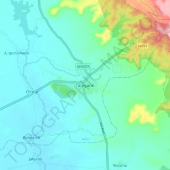
Name: Talegaon topographic map, elevation, terrain.
Location: Talegaon, Ashti, Wardha, Maharashtra, 442204, India (21.06440 78.16309 21.14440 78.24309)
Average elevation: 330 m
Minimum elevation: 298 m
Maximum elevation: 463 m