
Chadron topographic map
Interactive map
Click on the map to display elevation.
About this map
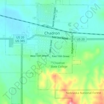
Name: Chadron topographic map, elevation, terrain.
Average elevation: 1,052 m
Minimum elevation: 1,013 m
Maximum elevation: 1,181 m
Chadron is located at 3,400 feet in elevation. It is surrounded by prairie grassland, broken by a ridge of lightly forested hills to the south.