
Nykil topographic map
Interactive map
Click on the map to display elevation.
About this map
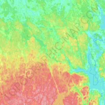
Name: Nykil topographic map, elevation, terrain.
Average elevation: 132 m
Minimum elevation: 84 m
Maximum elevation: 211 m
Other topographic maps
Click on a map to view its topography, its elevation and its terrain.
Björkeberg
Sweden > Östergötland County > Linköping
Björkeberg, Linköping, Linköpings kommun, Östergötland County, Region Götaland, Sweden
Average elevation: 71 m