
Pindra topographic map
Interactive map
Click on the map to display elevation.
About this map
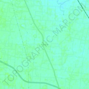
Name: Pindra topographic map, elevation, terrain.
Location: Pindra, Varanasi, Uttar Pradesh, 221006, India (25.46588 82.80859 25.50588 82.84859)
Average elevation: 81 m
Minimum elevation: 77 m
Maximum elevation: 84 m